News |
Best Sections of the Cape To Cape Track, Margaret River
The Cape to Cape Track is one of Australia’s most unique and varied walking trails, covering 125km across the amazing Margaret River Region. It stretches the length of the Leeuwin-Naturaliste Ridge, starting and finishing at the lighthouses on each end of the Capes.
By Nikki King
A world-class walking trail, the Cape to Cape Track offers a variety of terrain and scenery including spectacular white-sand beaches, turquoise bays, tall-timber forest, limestone caves and rocky clifftops. The track is also part of the South West World Biodiversity Hotspot, renowned for its huge range of endemic plant species and wildflowers.
Here is our selection of the best sections of the Cape to Cape Track, as featured on our award-winning Cape to Cape Walk.

Cape Naturaliste to Yallingup - [approximately 14km]
Cape Naturaliste Lighthouse
The start of the Cape to Cape Track begins at Cape Naturaliste Lighthouse where you can take in breathtaking panoramic views of the Indian Ocean, Cape Naturaliste, Leeuwin-Naturaliste National Park and the beautiful Geographe Bay coastline. Easier than most lighthouses to climb, the Cape Naturaliste Lighthouse is one of the most popular attractions in the Margaret River Region. Built from limestone quarried from nearby Bunker Bay, its highest point is 123 metres above sea level.
Sugarloaf Rock
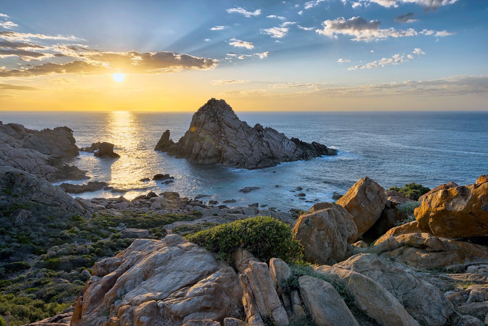
Three kilometres into the Cape to Cape Walk hikers discover Sugarloaf Rock, a huge towering granite rock that emerges from the Indian Ocean extremely close to the mainland. One of the region’s most spectacular coastal landforms and photographed sites, it has graced the cover of Australian Geographic and is a popular sunset viewing spot. Sugarloaf rock is also frequented by the impressive red-tailed tropicbird at certain times of the year.
Yallingup Surf Breaks
Whilst Yallingup beach is popular with young families, look slightly further out past the reef and you’ll find the locals catching some serious waves. Yallingup is popular with long-boarders and there is a core local crew who surf the place regularly. If you prefer to paddle in the shallows, head up to the hill and find the red coffee van. Grab a spot on a bench and watch the pros at work!

Smiths Beach to Injidup Beach - [approximately 5.5km]
Smiths Beach
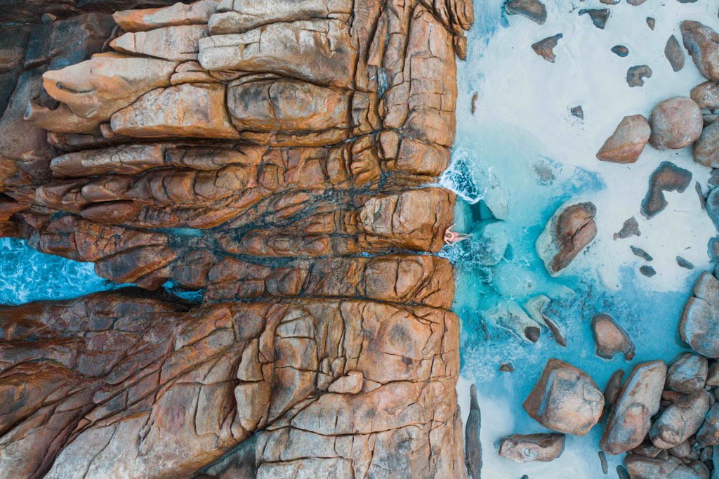
Heading south from Yallingup you will be surprised by the changing landscape. The pristine Smiths Beach soon makes way to deep red granite boulders, striking against the turquoise blue of the ocean. This is a truly spectacular section of the walk and great for that special photo. The section from Smiths Beach to Injidup can be done in 2-3 hours and is a perfect taste of the track if you only have a few hours to spare.
Injidup Beach
Injidup Beach is a pristine white sand beach bordered by Wyadup Cove and Cape Clairault. The “natural spa” is found in amongst the rocks of Wyadup Cove and in the right conditions is the perfect swim break along the Cape to Cape track. The turquoise water and white sand of Injidup beach is also a popular spot for a swim or surf, but if you’re not familiar with the beach, do be careful of rips and conditions before taking a dip. Rocky outcrops create great conditions for snorkelling offshore, and fishing from the beach at dawn or dusk has been known to result in a catch of the Indian Ocean’s best. But the stunning view from the track as it winds its way along the clifftop above Injidup beach is enough of a treat for most walkers.

Moses Rock to Willyabrup sea cliffs - [approximately 8km]
Moses Rock
Moses Rock is a popular surf break located between Yallingup and Gracetown. This wild beach is surrounded by rocky outcrops and tidal pools, perfect for a beach walk and exploration of the coast. The views are magnificent, as are the waves.
Willyabrup Cliffs
The Wilyabrup Sea Cliffs are a bit of a hidden gem in Margaret River, which makes them all the more special. The craggy cliffs of ancient granite rock extend along the coast for about half a kilometre, looming up to 40-50 meters high above the ocean. The views are especially impressive on a stormy day with heavy grey clouds and massive swells rolling in and crashing at the base of the cliffs. Between September and December, you’ve also got a good chance of spotting whales out to sea. The rock-climbers can also be fun to watch as they scale the cliff-face.

Redgate Beach to Boranup karri forest - [approximately 13.5km]
Redgate Beach
Redgate Beach is a beautiful white-sand beach, nestled between rocky outcrops and renowned for its great surf break. This is also the location of a local legend, The Georgette. This shipwreck from 1876 was found in 1964 and is now a popular snorkeling and diving site.
Contos Beach
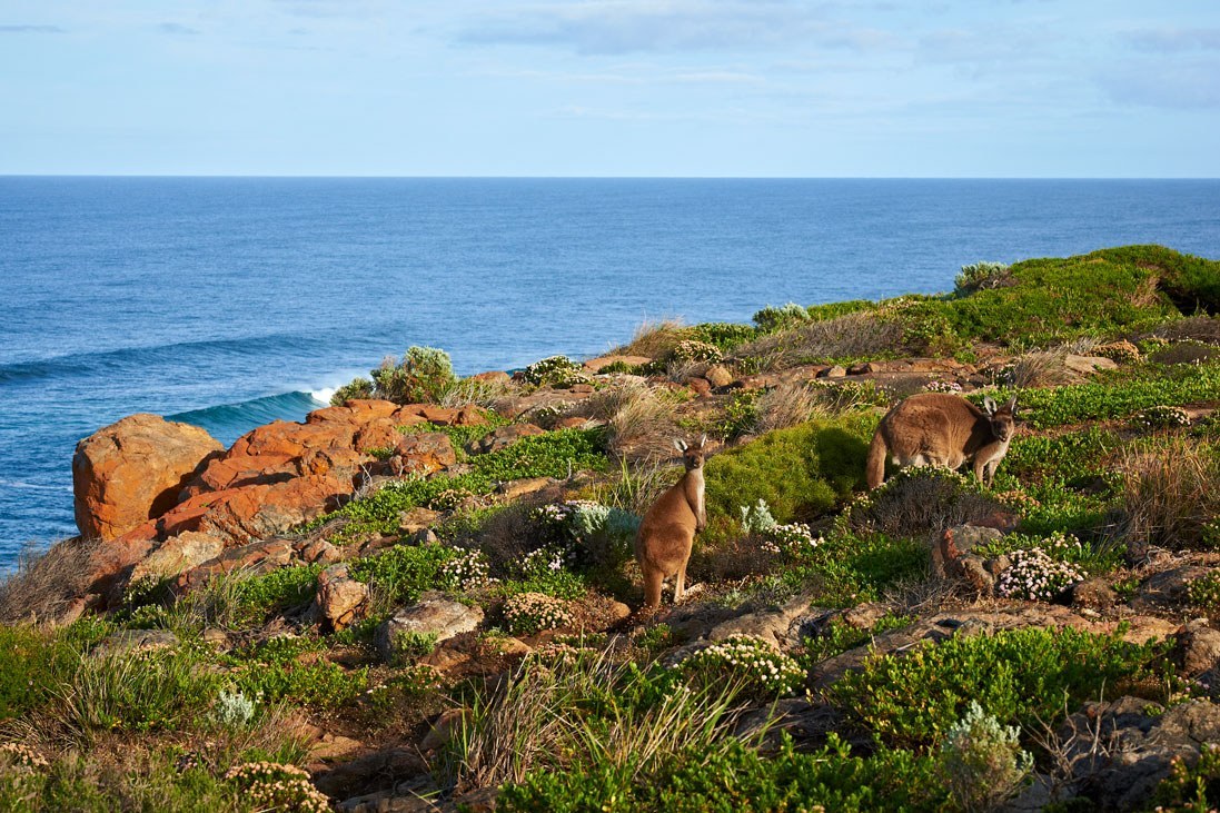
Contos Beach is a much-loved spot, perfect for surfing and equipped with a wonderful camp site. The Cape to Cape takes you along the cliff-top to get a breathtaking view of the wonderful beach below. Contos Springs is at the southern end of the beach and is a perfect spot to while away an afternoon soaking in shallow water on the warm rocks. This section of the Cape to Cape is particularly pretty during wildflower season when delicate natives light up the track.
Boranup Karri Forest
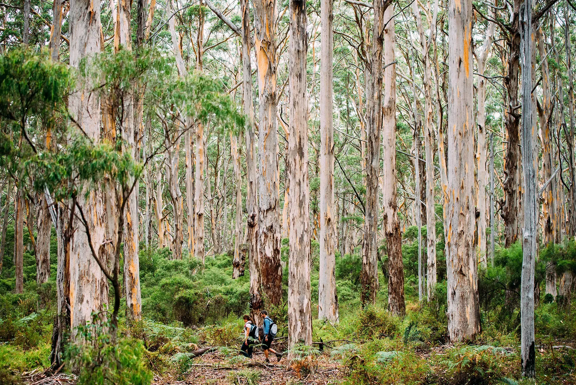
Boranup Karri Forest provides a great contrast to the coastal scenery along the Cape to Cape. The forest is unique for its proximity to the coast and its striking karri trees. This is the furthest west that the tall pale-barked karri trees grow. Karris can reach 60 metres or more in height and cover the hilly slopes and valleys of the forest. This area is also well known for its delicate wildflowers, including many orchids, that dot the forest floor during Spring. An absolute must when visiting the Margaret River region.
Walk Into Luxury has a range of all-inclusive walking tours on the Cape to Cape Track, including our signature small group Cape to Cape Walk – one of the Great Walks of Australia. Check out our full list of Cape to Cape Walks and other WA Walks here, or get in touch with our friendly team.